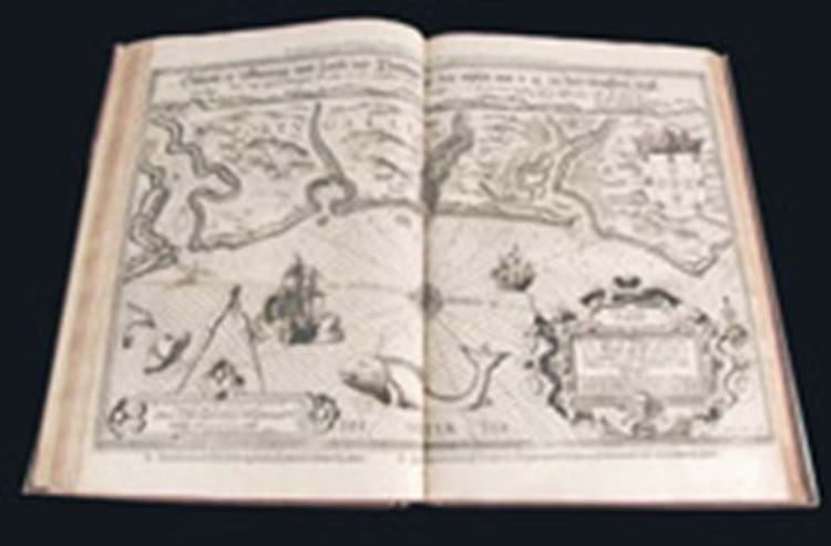
Gathering information from manuscript charts, 'rutters', ships' logs, etc., Lukas Wagenhaer compiled the first practical set of navigational charts of the coasts of north and western Europe.
First printed in Dutch in 1583-84 as Spiegel der Zeevaerdt, it was quickly re-issued with Dutch, Latin, English, German and French texts and the copy seen in Newcastle was a French text edition printed in Antwerp by Jean Bellère in 1590 - but with an opening title-page in Spanish.
One of the last editions issued, it showed some variation in the impressions of the 47 double-page map plates, as one might expect, and the selling price was thus a very strong one. In 2006, a 1586 Leiden editon made £38,000 at Sotheby's as part of Lord Wardington's library, and though a copy of the first English edition, published in 1588 as The Mariners Mirror, made £75,000 in that same sale, it is not quite the same work - the van Doetecum charts having been re-engraved by De Bry, Hondius, Rutlinger and Ryther.