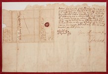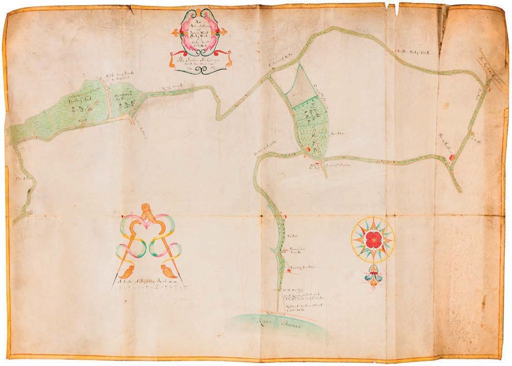
Among the rarities included in the Chiswick Auctions (25% buyer’s premium) sale on February 27 was this late 17th century manuscript coloured survey map of pre-industrial Bermondsey in south London.
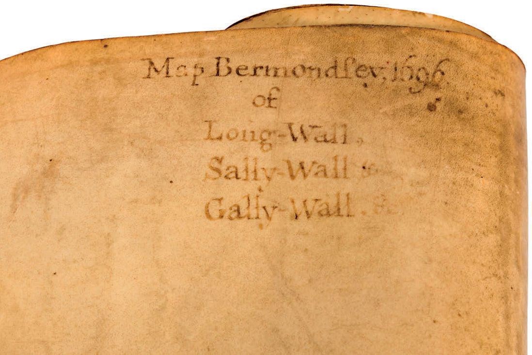
Drawn on two sheets of vellum measuring 2ft x 2ft 10in (60 x 84cm), the central cartouche is titled An Actuall Survey of Long Wall, Sally Wall, and Gallo ali[a]s Gally Wall by James Atkinson Aprill Anno Domini 1696.
The walls to which it refers were the embanked roads in Rotherhithe and Bermondsey that followed the line of the old boundaries of the priory of St Mary Overie in Southwark. At the time of the dissolution in the 16th century, they were known as Le Longe Wall, Sallow Wall and Gallows Wall.
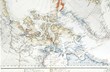
Map of Bermondsey in south London dated 1696, sold for £4200 at Chiswick Auctions.
Bermondsey before the arrival of ropemakers in the 18th century had the character of a garden suburb, having been settled by the well-to-do in the years after the Great Fire.
The map included reference to two landmarks that had emerged in the Restoration period: the Cherry Garden pleasure gardens and Jamaica House, a handsome baroque-style house built from the proceeds of trade in the West Indies that later became a tavern.
The diarist Samuel Pepys visited both with his family and servants on Sunday, April 14, 1667, writing: “Over the water to the Jamaica house, where I never was before, and then the girls did run wagers on the bowling-green, and there with much pleasure spent but little, and so home.”
At Cherry Garden Stairs
James Atkinson was a mathematical instrument maker and maritime bookseller whose shop was at Cherry Garden Stairs in Rotherhithe.
The co-publisher of an Atlas Maritimus issued in 1675-77, his name also appears as a witness in the trial of Reverend Thomas Rosewell, a nonconformist minister in Rotherhithe, who was found guilty of treason but subsequently pardoned by Charles II.
The map, with some soiling, spotting and creasing but no losses, was guided at £3000-5000 and took £4200.